Laser Rangefinders in Forestry: Precision Tools for Modern Forest Management
As sustainable forestry and ecological conservation become increasingly important worldwide, forestry professionals require fast, accurate, and reliable measurement tools. Traditional methods of measuring tree height, distance, and terrain often require significant manpower and time while introducing measurement errors.
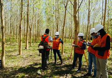
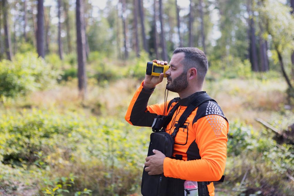
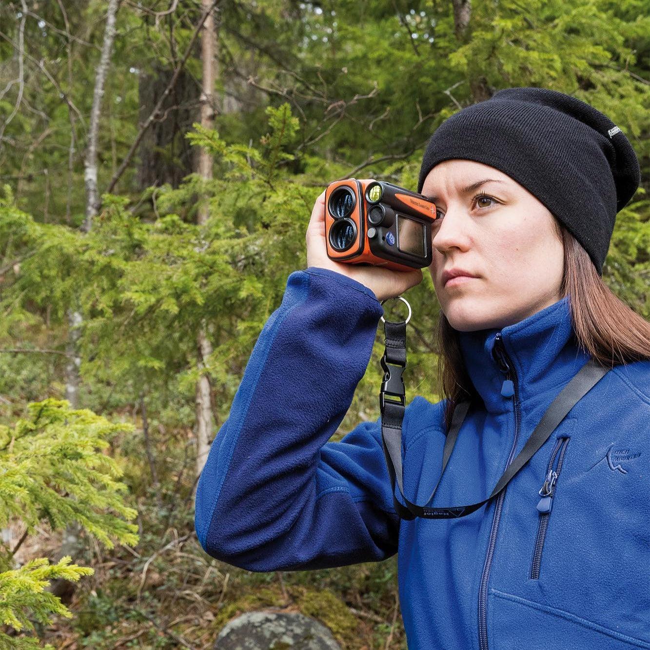
INJIE Optics develops professional Laser Rangefinders that help forestry engineers, forest rangers, environmental researchers, and land surveyors collect accurate field data efficiently. Combining laser ranging, angle measurement, height calculation, and digital display technology, INJIE laser rangefinders improve productivity across a wide range of forestry applications.
Why Laser Rangefinders Are Essential in Forestry
Modern forestry management relies on precise data to support decision-making.
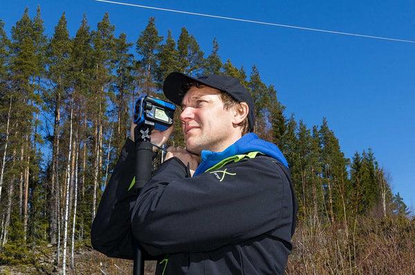
Laser rangefinders enable users to measure targets without direct contact, improving safety while reducing fieldwork time.
Key advantages include:
Fast one-button distance measurement
High-precision laser technology
Non-contact tree height measurement
Horizontal distance calculation
Angle measurement
Easy operation in complex terrain
Lightweight portable design
These features allow forestry professionals to work more efficiently in dense forests, mountains, and protected ecological areas.
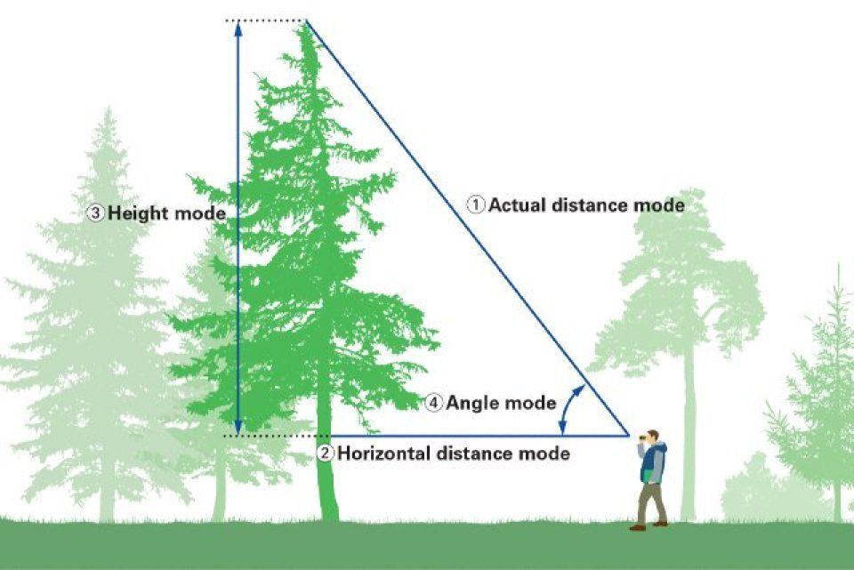
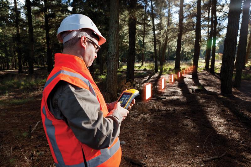
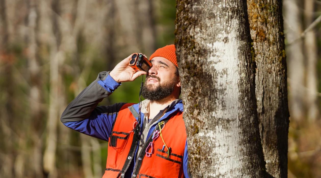
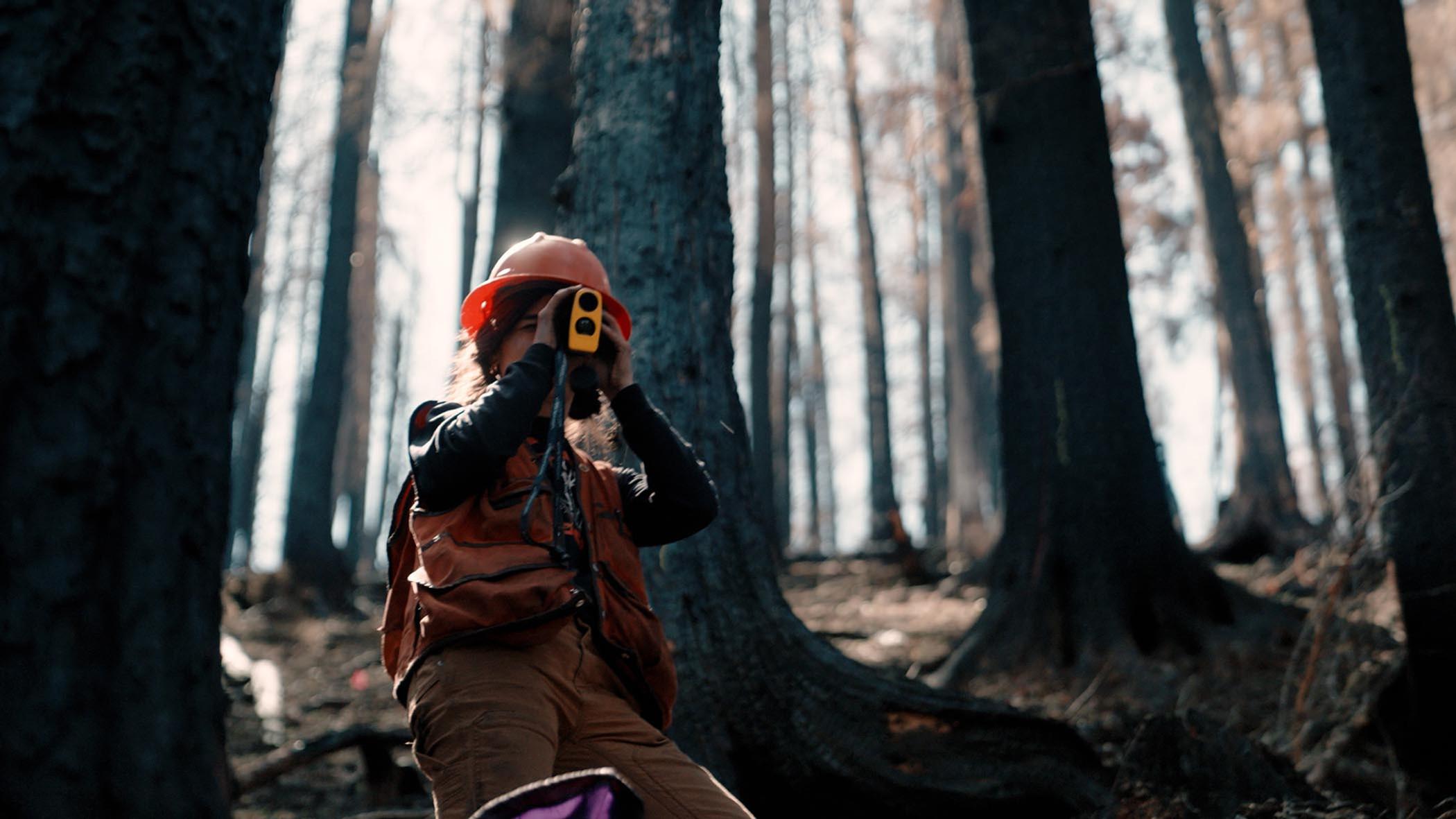
Accurate Tree Height Measurement
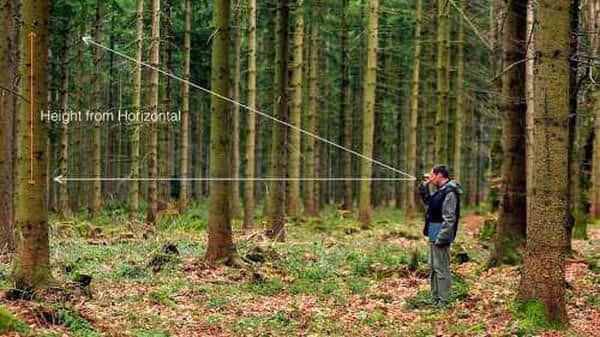
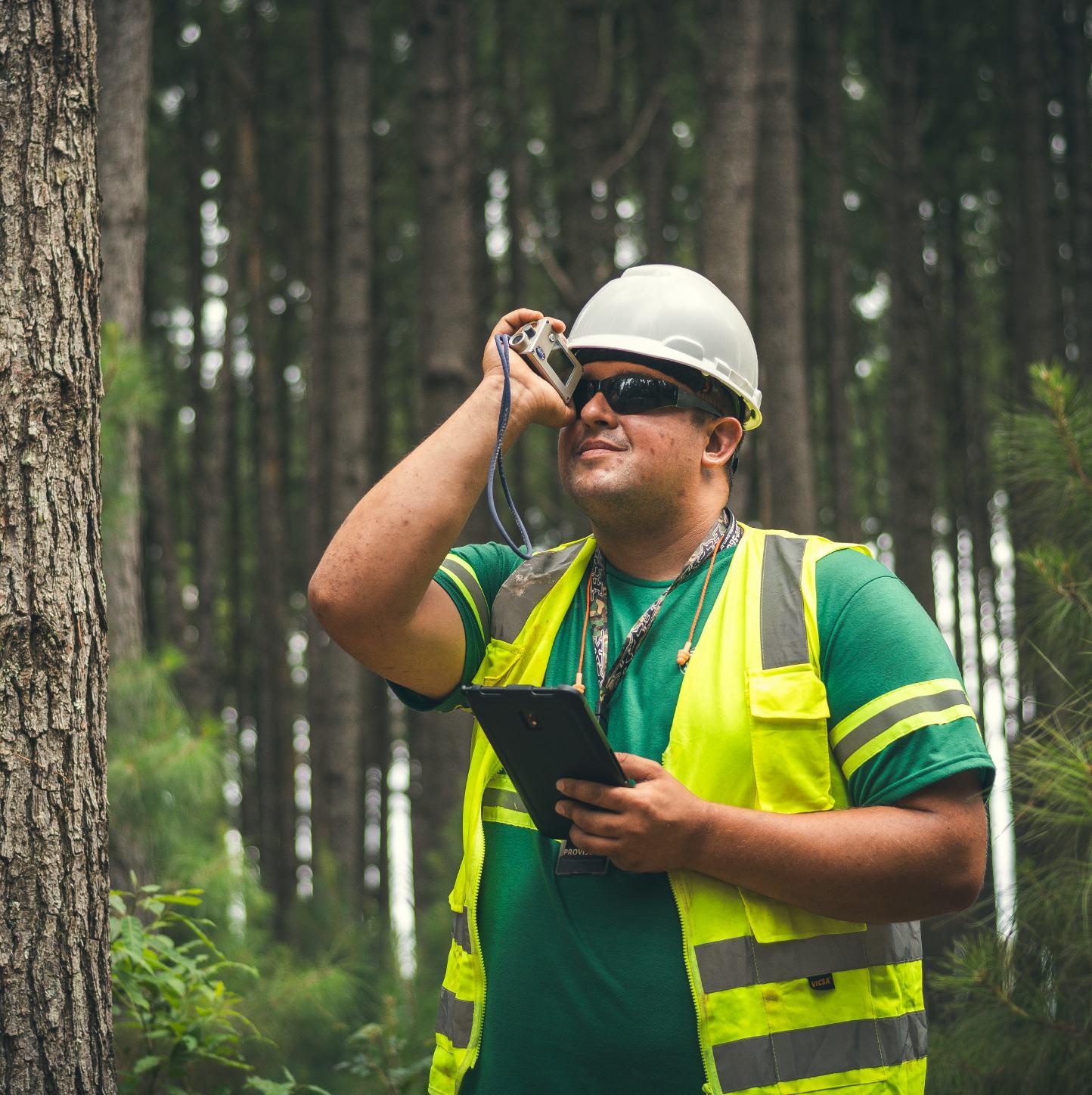
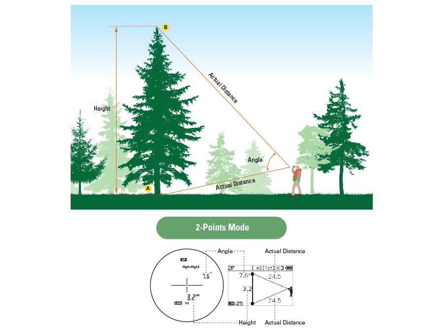
Tree height is one of the most important indicators for forest resource assessment.
INJIE Optics laser rangefinders use integrated angle compensation and distance calculation to quickly determine tree height without climbing or physically accessing the tree.
Benefits
Faster than manual measurement
Improved accuracy
Safe operation from the ground
Suitable for tall trees
Ideal for dense forest environments
Applications include:
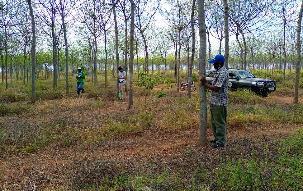
Timber resource surveys
Forest inventory projects
Carbon storage estimation
Ecological monitoring
Plantation management
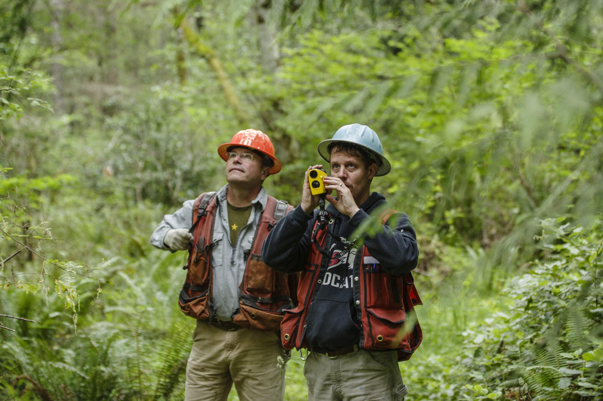
Distance Measurement for Forest Surveys
Forest management requires accurate spatial information.
INJIE Optics laser rangefinders measure:
Tree spacing
Road distances
Firebreak widths
River crossings
Plot boundaries
Observation distances
Rapid measurement helps survey teams complete fieldwork more efficiently while reducing manual recording errors.
Terrain and Slope Measurement
Mountain forests often contain steep and uneven terrain.
Laser rangefinders equipped with inclinometer functions assist users by measuring:
Slope angle
Horizontal distance
Vertical height difference
Elevation changes
These measurements support road planning, reforestation projects, erosion control, and infrastructure construction.
Forest Fire Prevention and Emergency Response
Forestry departments regularly patrol forests to reduce wildfire risks.
Laser rangefinders assist patrol teams by helping them:
Estimate fire distances
Measure evacuation routes
Monitor firebreak construction
Assess hazardous zones
Plan emergency response operations
Quick and accurate measurements improve coordination during emergency situations.
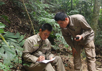
Wildlife and Ecological Research
Environmental researchers frequently conduct wildlife monitoring in remote forests.
Laser rangefinders help scientists:
Measure observation distances
Record animal habitat locations
Estimate vegetation height
Map ecological survey plots
Support biodiversity research
The ability to collect accurate spatial data without disturbing wildlife is especially valuable in protected areas.
Forestry Infrastructure Planning
Laser rangefinders are widely used when planning and maintaining forest infrastructure.
Applications include:
Forest road construction
Hiking trail development
Observation tower placement
Bridge installation
Drainage system planning
Power line inspection corridors
Accurate field measurements help reduce construction costs and improve project efficiency.
Key Features of INJIE Optics Forestry Laser Rangefinders
Designed for demanding outdoor environments, INJIE Optics rangefinders offer:
High Measurement Accuracy
Advanced laser technology delivers reliable results over long distances.
Long Measurement Range
Suitable for both short-range forest inventory work and long-distance observation.
Multiple Measurement Modes
Distance Mode
Continuous Scan Mode
Height Measurement
Angle Measurement
Horizontal Distance
Vertical Distance
HD Optical System
Multi-coated optical lenses provide bright and sharp images under various lighting conditions.
OLED Display
High-contrast display ensures excellent readability in forests, early mornings, and low-light conditions.
Rugged Outdoor Construction
Waterproof housing
Dustproof protection
Shock-resistant design
Anti-slip rubber coating
Long battery life
These features ensure reliable performance throughout demanding field operations.
OEM & ODM Forestry Measurement Solutions
INJIE Optics works with forestry equipment distributors, government agencies, surveying companies, and outdoor brands worldwide.
Our manufacturing services include:
OEM production
ODM development
Private label branding
Logo customization
Packaging design
Firmware customization
User manual localization
International technical support
With advanced manufacturing capabilities and strict quality control, INJIE Optics delivers dependable laser measurement solutions for global markets.
The Future of Smart Forestry Measurement
As digital forestry continues to evolve, laser measurement technology is becoming increasingly intelligent.
Future trends include:
AI-assisted forest inventory
Bluetooth data transmission
GPS positioning integration
GIS mapping compatibility
Mobile application connectivity
Cloud-based forestry data management
Multi-sensor environmental monitoring
Integrated laser rangefinder and thermal imaging systems
INJIE Optics continues investing in research and innovation to support the next generation of smart forestry management.
Conclusion
Laser rangefinders have become indispensable tools for modern forestry professionals. From tree height measurement and forest inventory to wildfire prevention, ecological research, and infrastructure planning, INJIE Optics Laser Rangefinders provide accurate, efficient, and reliable measurement solutions for every stage of forest management.
Whether you are a forestry agency, environmental consultant, research institution, or equipment distributor, INJIE Optics offers professional laser rangefinding technology designed to improve productivity and support sustainable forest management worldwide.