Enhancing Forest Fire Prevention with Precision Laser Measurement
Forest fires are one of the greatest threats to ecosystems, biodiversity, timber resources, and nearby communities. Climate change, prolonged droughts, and rising global temperatures have increased the frequency and intensity of wildfires, making early detection and rapid response more important than ever.
Modern forest fire management relies on accurate field data to assess fire risks, monitor terrain, calculate safety distances, and coordinate emergency operations. INJIE Optics Laser Rangefinders provide forestry professionals, fire patrol teams, emergency responders, and environmental agencies with precise measurement tools that improve operational efficiency and situational awareness.
Why Laser Rangefinders Are Important in Forest Fire Management
Traditional distance estimation can be inaccurate, especially in mountainous forests, dense vegetation, or low-visibility conditions.
Laser rangefinders provide fast and reliable measurements for:
Fire source distance
Firebreak width
Evacuation route planning
Observation point positioning
Terrain assessment
Safety perimeter calculation
Command post deployment
Accurate information enables emergency teams to make faster and better-informed decisions during critical situations.
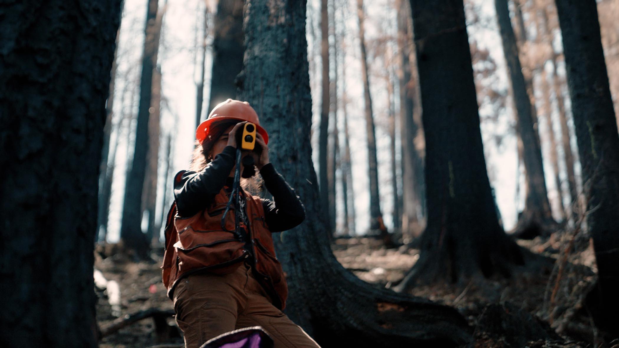
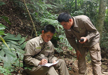
Early Detection and Risk Assessment
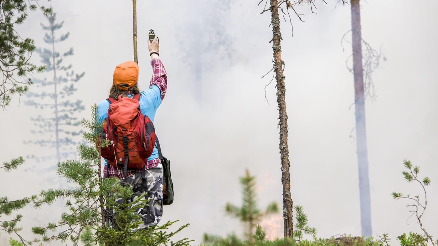
Routine patrols play a key role in reducing wildfire risks.
Forest rangers equipped with INJIE Optics Laser Rangefinders can quickly determine:
Distance to smoke columns
Position of potential ignition points
Width of dry vegetation areas
Separation between forest roads
Distance to nearby facilities
These measurements improve the accuracy of fire risk assessments and support preventive management.
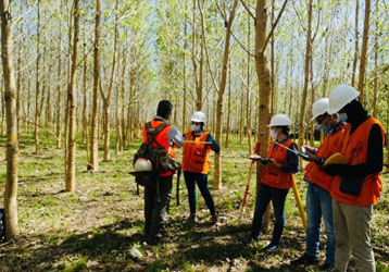
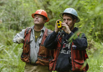
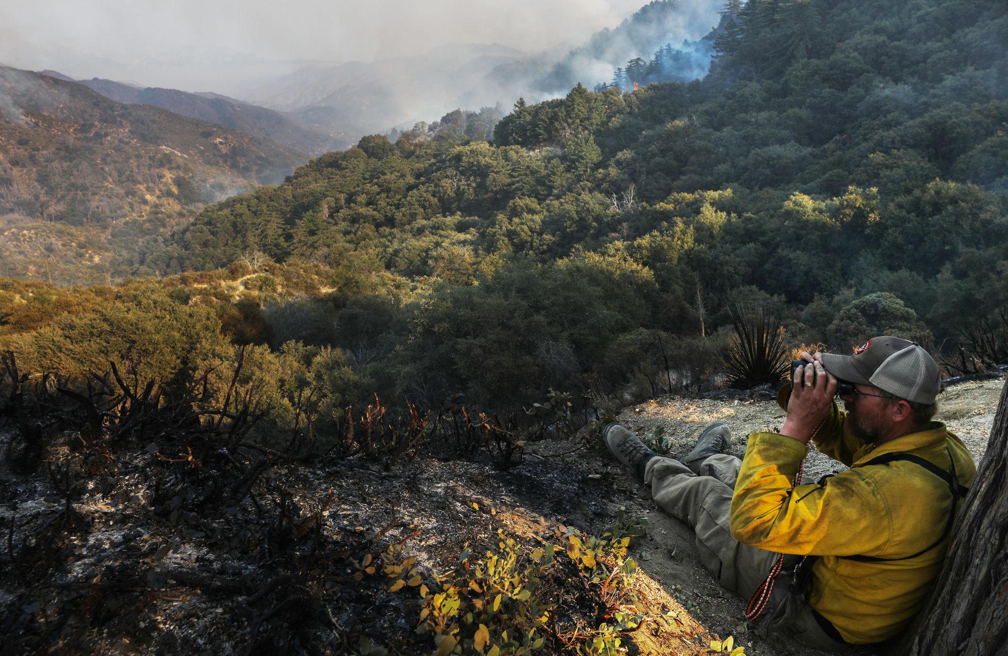
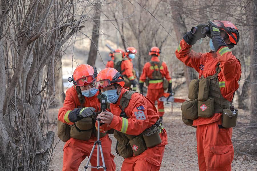
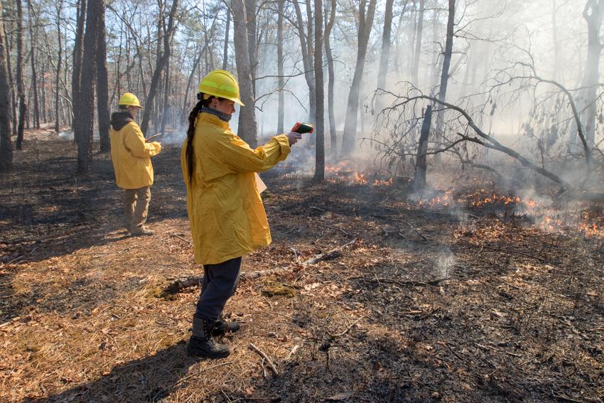
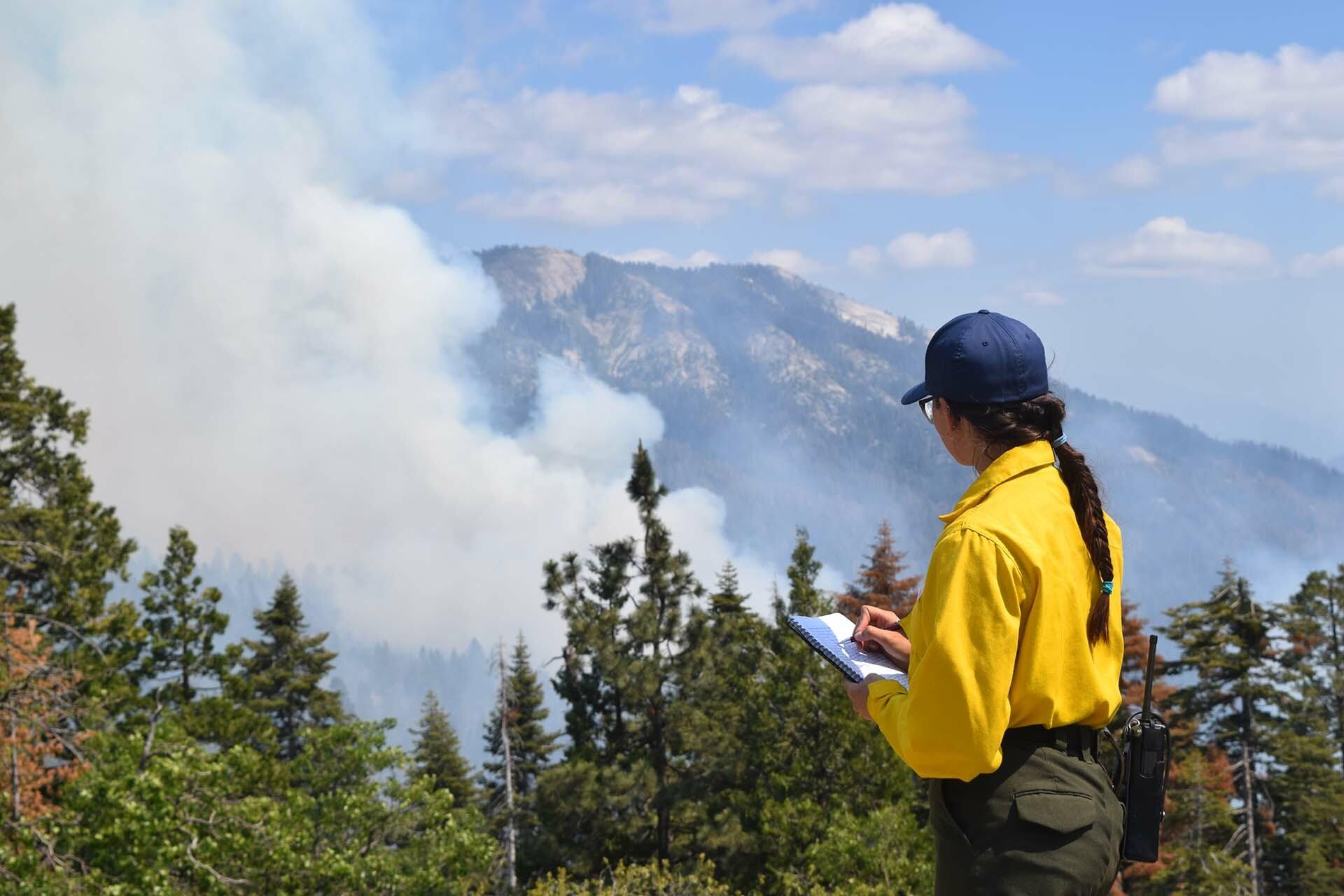
Supporting Emergency Response Operations
During an active wildfire, emergency teams must make rapid decisions while operating in challenging environments.
INJIE Optics laser rangefinders assist responders by providing:
Accurate Distance Measurement
Measure the distance between personnel and advancing fire fronts.
Terrain Analysis
Evaluate slopes and elevation changes that influence fire spread.
Firebreak Planning
Measure the width and length of firebreaks before deployment.
Rescue Coordination
Estimate distances for evacuation routes and rescue operations.
Equipment Positioning
Determine safe locations for fire engines, water tanks, communication equipment, and observation posts.
Measuring Terrain in Mountain Forests
Wildfires often occur in rugged landscapes where traditional surveying methods are difficult.
INJIE Optics Laser Rangefinders equipped with inclinometer functions allow users to measure:
Slope angles
Horizontal distance
Vertical height differences
Elevation changes
These measurements help incident commanders predict fire behavior and deploy firefighting resources more effectively.
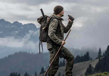
Long-Range Observation in Remote Areas
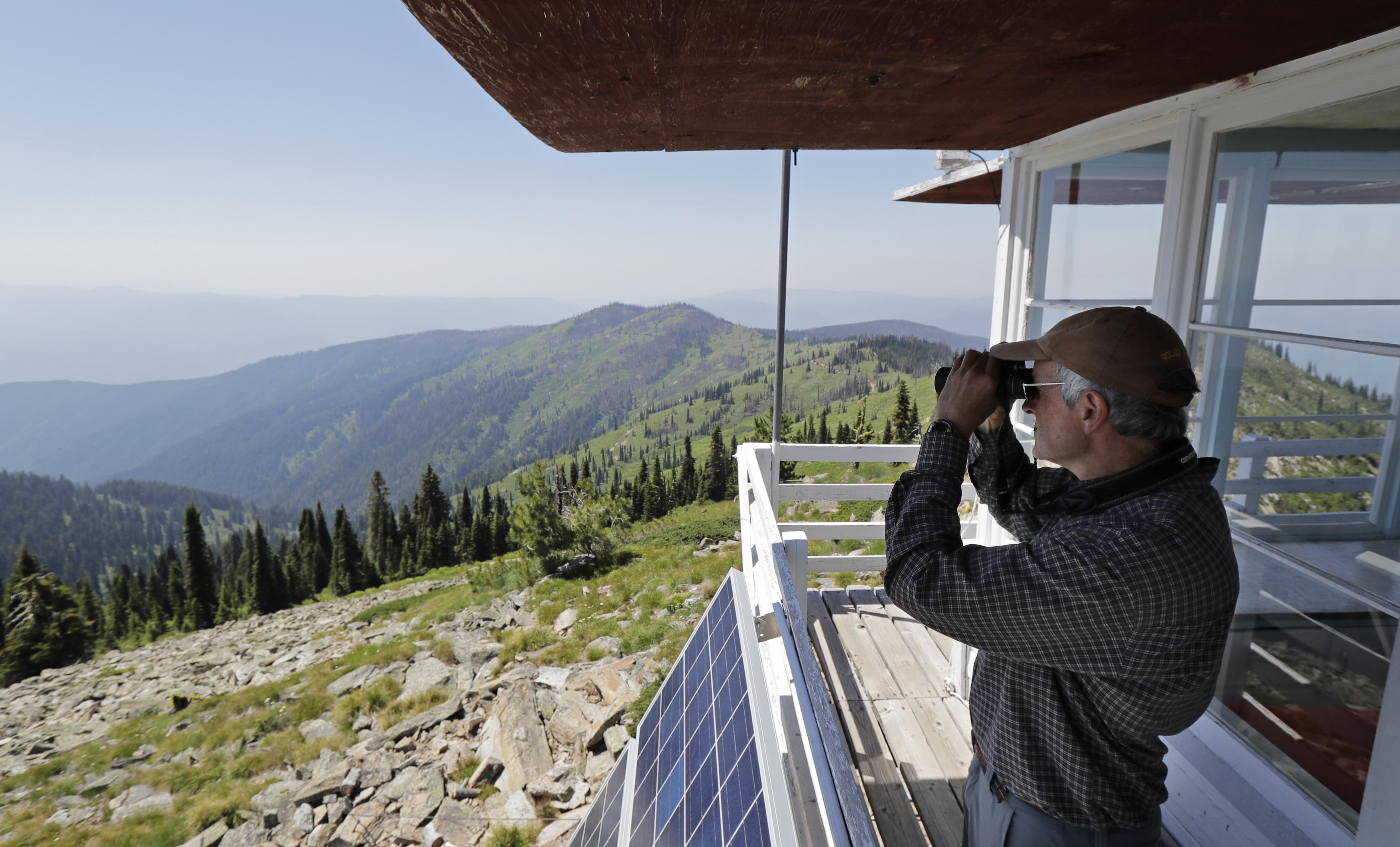
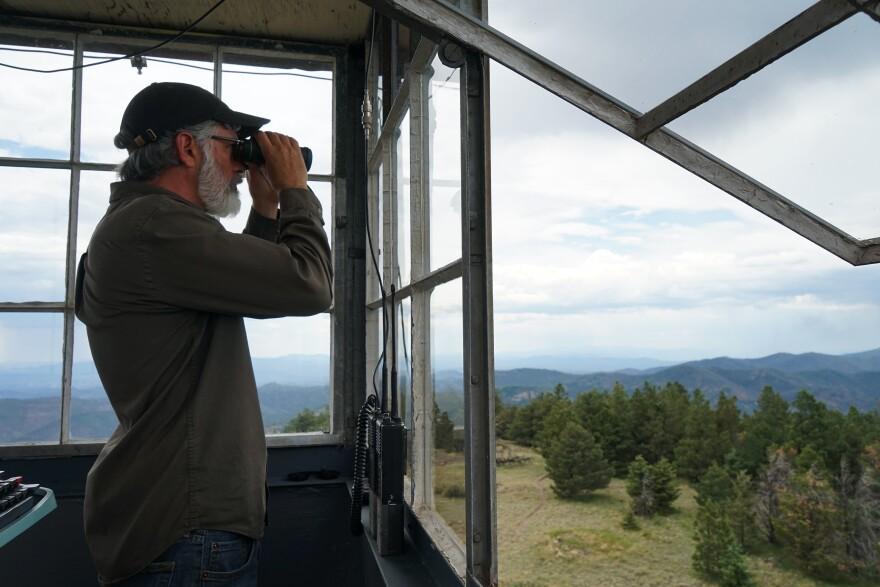
Many forests contain observation towers and remote monitoring stations.
INJIE Optics Laser Rangefinders provide long-distance measurement capabilities that help operators:
Locate smoke sources
Monitor fire progression
Measure distances between observation points
Evaluate safe access routes
Coordinate aerial firefighting operations
Reliable long-range measurements improve communication between ground teams and command centers.
Rugged Performance for Harsh Outdoor Environments
Wildfire response demands equipment that remains dependable under extreme conditions.
INJIE Optics Laser Rangefinders feature:
Waterproof housing
Dust-resistant construction
Shock-resistant design
Anti-slip rubber armor
High-contrast OLED display
Long battery operating life
These features ensure reliable performance in forests, mountains, grasslands, and remote emergency locations.
Additional Forestry Applications
Beyond wildfire management, INJIE Optics Laser Rangefinders support a wide range of forestry operations, including:
Forest Patrol
Measure patrol routes and inspection distances.
Ecological Monitoring
Collect accurate field data for habitat protection projects.
Forest Inventory
Measure tree height, stand spacing, and survey plots.
Reforestation
Evaluate planting density and restoration progress.
Infrastructure Maintenance
Inspect forest roads, bridges, powerline corridors, and observation towers.
Why Forestry Professionals Choose INJIE Optics
INJIE Optics combines advanced optical engineering with practical field experience to develop laser rangefinders that meet the needs of forestry agencies worldwide.
Key Advantages
High-precision laser technology
Fast measurement response
Multiple measurement modes
Premium optical system
Ergonomic handheld design
Reliable outdoor durability
OEM & ODM manufacturing services
Global export experience
Our products are trusted by forestry departments, environmental organizations, surveying companies, and equipment distributors across international markets.
Future Trends in Smart Forestry and Fire Prevention
The future of wildfire management will increasingly rely on digital technologies and intelligent monitoring systems.
Emerging developments include:
AI-powered wildfire detection
Drone-assisted forest inspections
Bluetooth and wireless data transfer
GPS-integrated laser rangefinders
GIS mapping compatibility
Mobile field reporting applications
Cloud-based emergency management platforms
Integration with thermal imaging cameras
INJIE Optics continues investing in research and innovation to provide advanced measurement solutions that enhance forest protection and emergency preparedness.
Conclusion
Accurate distance measurement is essential for effective wildfire prevention, emergency response, and sustainable forest management. INJIE Optics Laser Rangefinders provide forestry professionals with reliable tools for measuring distances, assessing terrain, planning firebreaks, and improving field efficiency.
Whether used for daily forest patrols, wildfire response, ecological surveys, or infrastructure planning, INJIE Optics delivers precision, durability, and advanced optical performance that professionals can depend on in the field.